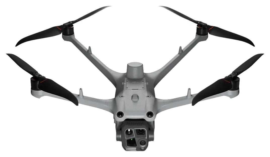
At Drone Málaga we offer LiDAR drone services in Malaga to obtain high-accuracy 3D data for surveying, engineering, civil works and land management projects. LiDAR (laser scanning) captures millions of points in a short time, producing a detailed point cloud even in areas with vegetation, slopes or complex environments where photogrammetry can be limited.
LiDAR drones in Malaga: high-accuracy airborne laser scanning
Drone LiDAR uses a laser sensor that measures distances and creates a 3D representation of the terrain and existing features. At Drone Málaga we plan the flight and capture to produce useful results on real projects, with deliverables ready for engineering, CAD/GIS and site control.
This service is ideal for:
- LiDAR topographic surveys
- mapping in areas of dense vegetation
- slopes, quarries and earthworks
- linear corridors (roads, pipelines, utility lines)
- industrial settings and large areas
Point cloud, DTM and 3D models
With our LiDAR work in Malaga we produce technical outputs such as:
- LiDAR point cloud (classified according to project needs)
- DTM (Digital Terrain Model) to analyse real ground levels
- DSM (Digital Surface Model) including features above ground
- contour lines, slope maps and profiles
- 3D models for planning and control
These results make it easier to take decisions, calculate volumes and track changes over time.
LiDAR for civil works, engineering and project control
Drone laser scanning is especially useful for civil works and engineering: it documents the initial state, tracks progress, detects deviations and compares survey campaigns over time. It is also a powerful tool for BIM and digital twins, providing a reliable 3D base for planning and coordination.
Common applications:
- control of grading and embankments
- volume calculations and stockpile measurement
- control of industrial platforms
- survey monitoring of construction
- documentation of quarries and slopes
Advantages of LiDAR drone services
Choosing drone LiDAR in Malaga brings clear advantages:
- high data density and great 3D detail
- better performance in vegetated areas
- fast capture over large areas
- less exposure of staff in hazardous areas
- comparable results in periodic campaigns
Drone Málaga: LiDAR drone specialists in Malaga
If you're looking for LiDAR services in Malaga, LiDAR drones, airborne laser scanning, point clouds, DTM, 3D models or LiDAR surveying, Drone Málaga offers a professional solution for engineering, construction and land projects, with clear deliverables designed for technical use on site and in the office. Combine it with our drone surveying when the project requires it.