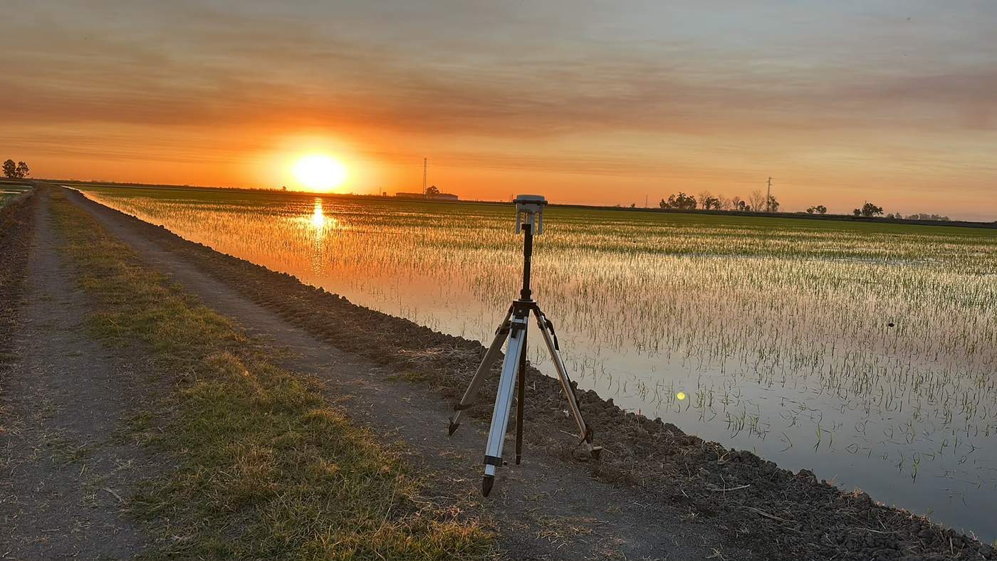
At Drone Málaga we offer drone surveying services in Malaga to obtain accurate terrain information quickly, safely and efficiently. We carry out topographic drone surveys, aerial photogrammetry and drone mapping for civil works, building, quarries, energy, urban planning, agriculture and engineering, providing useful data for planning, measurement and project control.
Drone surveying in Malaga: precision, speed and safety
Drone surveying captures large areas in less time than traditional methods, reducing time in the field and improving safety in complex areas (slopes, quarries, hard-to-reach areas or construction sites). At Drone Málaga we carry out planned flights and systematic capture to produce survey outputs ready for the technical office.
This service is ideal if you need:
- measurements and volume calculations
- earthworks control
- stockpile volume calculations
- survey monitoring of construction
- slope and drainage analysis
- planning of roads and grading
Drone photogrammetry and 3D terrain models
We use drone photogrammetry to create 3D models and metric representations of terrain and structures. From aerial images we produce outputs such as:
- high-resolution orthophoto / orthomosaic
- digital terrain model (DTM)
- digital surface model (DSM)
- point cloud
- contour lines
- slope and elevation maps
These deliverables help you make decisions with clear, measurable visual data and integrate easily into engineering and architecture workflows.
Drone mapping for construction, engineering and urban planning
Our drone mapping service in Malaga is especially useful for projects that need frequent documentation and date-by-date comparison. We can schedule periodic campaigns for:
- survey control of substations and industrial plants
- surveying on civil works (roads, developments, pipelines)
- measurement of quarries, material movements and stockpiles
- support for BIM projects and site layout planning
We can also combine surveying with drone construction monitoring, photography and video, so site management has both the technical data and the visual documentation.
Drone volume calculations
One of the most requested uses is drone volume calculation: measuring volumes of earth, cuts, embankments and stockpiles. This makes it possible to verify certifications, control productivity and spot deviations quickly. Drone volume measurement gives a global, traceable view of how the project is evolving.
Drone Málaga: drone surveying specialists
If you're looking for drone surveying in Malaga, topographic drone surveys, aerial photogrammetry, drone mapping, orthophotos, 3D models, DTM or volume calculations, Drone Málaga offers a professional service tailored to your project, with clear deliverables designed for real use in construction and engineering.
What we deliver in a drone survey
- Orthophoto georeferenced, high resolution (GeoTIFF).
- Digital terrain and surface models (DTM and DSM).
- Point cloud dense, for CAD and BIM (LAS/LAZ).
- Contour lines and drawings in DWG/DXF.
- Volume calculations of stockpiles, cuts and embankments.
- Textured 3D model for presentations and visual inspection.
Accuracy: RTK and ground control points
For surveying work we use GNSS RTK positioning and, when the project requires it, ground control points measured in the field. This gives centimetre-level accuracy and data the technical office can use directly in the project. We tell you the expected accuracy in each case based on the area, flight height and type of deliverable.
How a drone survey works
- Site study: airspace, permits and area to be flown.
- Flight planning and placing control points if needed.
- Automatic flight with calculated overlaps for photogrammetry.
- Office processing and quality control of the results.
- Delivery of files in the formats your team works with.
Where we work
We carry out drone surveys in Malaga city, the Costa del Sol, the Antequera area, the Axarquía, the Serranía de Ronda and the Guadalhorce Valley, for civil works, residential developments, farmland, quarries and solar installations.
Frequently asked questions
How accurate is drone surveying?
With GNSS RTK and ground control points you get centimetre-level accuracy, enough for most construction, urban planning and volume calculation projects. The exact accuracy depends on the flight height and type of terrain, and we tell you before we start.
How much area can be surveyed in a day?
It depends on the terrain and the resolution required, but in one day a drone covers areas that would take several days with traditional surveying. We give you a specific timescale once we know the site.
What formats are the results delivered in?
Orthophoto in GeoTIFF, point cloud in LAS/LAZ, elevation models, contour lines in DWG/DXF and 3D models. We adapt to your technical office's software.
Do you need a permit to fly?
It depends on the location. We study the airspace for each job and handle the authorisations or coordination required as an AESA-registered operator.