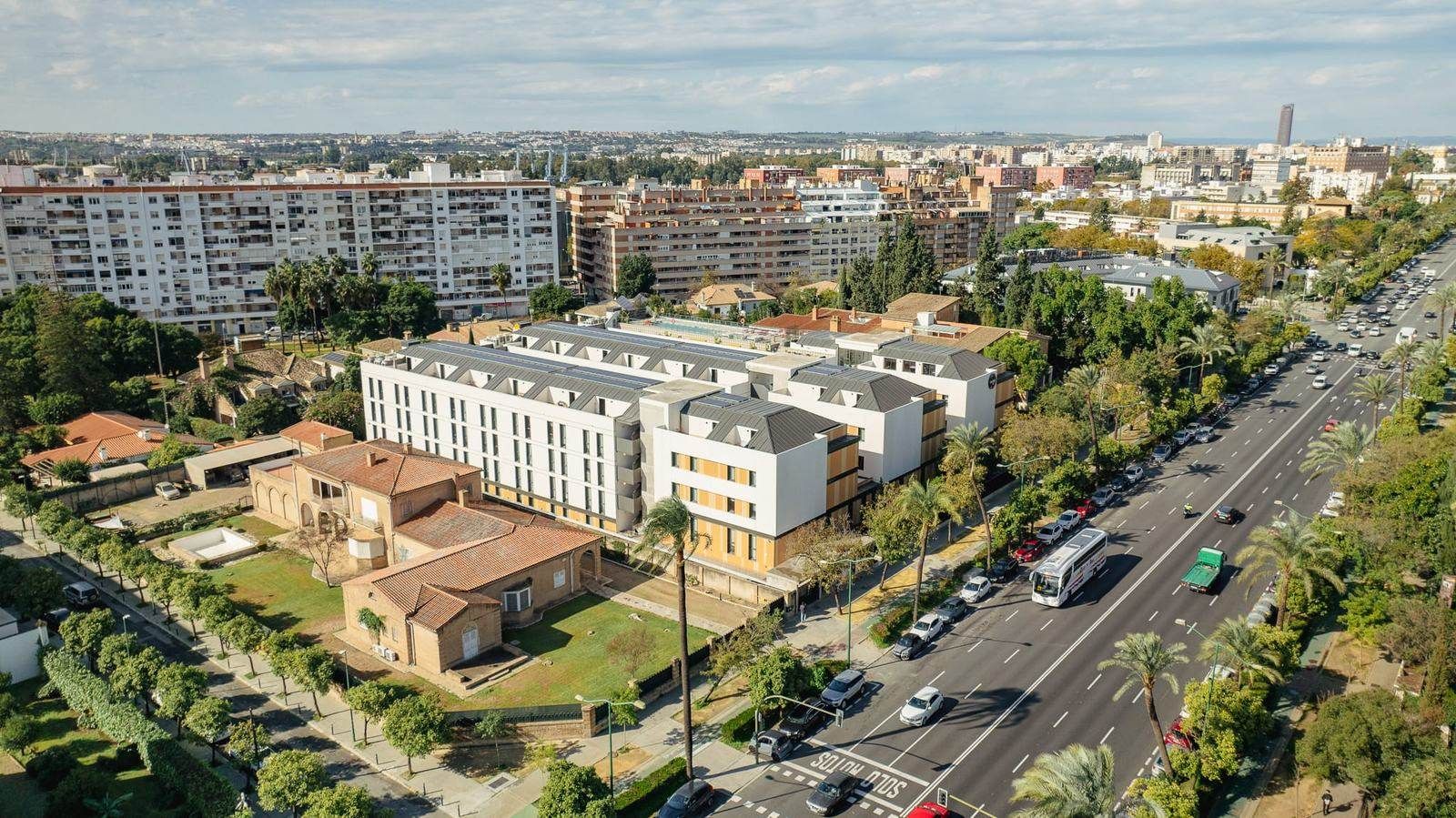
At Drone Málaga we offer a specialised drone valuation service in Malaga that provides detailed, up-to-date visual information for the valuation, analysis and documentation of properties, estates and assets. A drone survey does not replace the report of an accredited valuer where one is legally required, but it adds enormous value as technical and visual support: it improves the accuracy of the analysis, makes it easy to inspect inaccessible areas and leaves clear evidence of the condition and surroundings of the asset.
Drone valuation support in Malaga: valuing properties and estates from the air
Our service is designed for valuers, estate agents, architects, engineering firms, funds, developers, insurers and private clients who need solid documentation for:
- valuation of homes and buildings
- valuation of industrial warehouses and plots
- valuation of rural estates and farms
- analysis of land and building plots
- checking surroundings, access, boundaries and general condition
With aerial drone inspection we capture photos and videos of roofs, façades, courtyards, communal areas and the immediate surroundings, from a perspective you can't get on foot.
Visual inspection for valuations: roofs, façades and hard-to-see elements
One of the main advantages of drone valuation support in Malaga is the ability to check:
- roofs and roof coverings (general condition, maintenance, deteriorated areas)
- façades and party walls
- courtyards, roof terraces, cornices and high areas
- access, fencing and boundaries of plots
- the urban or rural setting and its relation to roads, services and neighbouring properties
This documentation is very useful for better assessing the condition of the asset and reducing uncertainty on technical visits.
Photo and video reports for valuations and reports
At Drone Málaga we deliver material organised by area with documentary criteria: aerial photography, drone video and, if needed, complementary ground shots. This content is used as support for:
- valuation and appraisal reports
- analysis for sales or investment
- technical audits and visual due diligence
- reports for insurance or incidents (where appropriate)
- documentation for developers and owners
We can also produce specific pieces for premium real estate: presentation videos, aerial footage and content optimised for websites and portals, strengthening the perceived value of the property.
Drone valuation support for rural estates and large areas
For rural assets, drone valuation support is especially useful to show the size, access, tracks, slopes, cultivated areas, infrastructure and real context of the land. It is an efficient solution for large areas or places with limited access.
Drone Málaga: professional support for drone valuations
If you're looking for drone valuation support in Malaga, aerial inspection for valuations, aerial photography for appraisals, drone video of properties, drone estate valuation or visual documentation for reports, Drone Málaga offers a professional, clear service designed to provide useful information for decision-making.
Important note: where the law requires an official valuation, the report must be issued by an accredited professional or company. Our service provides audiovisual documentation and visual support to improve the analysis and presentation of the asset.